


- Sku: PALV2967S
- Barcode:
- Type: Vintage Maps
Alabama Official State Highway Map 1977-1978 George Wallace
We ship to all 50 US states, Puerto Rico, APO addresses, US territories, Canada, Australia, and New Zealand
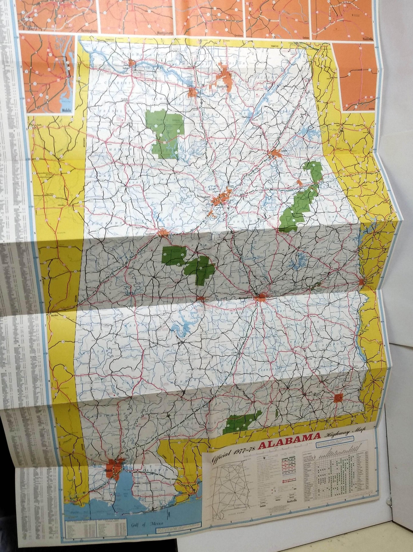
1977-1978 Alabama State Highway Map issued by the State of Alabama Highway Department Bureau of Planning and Programming Division of Surveying and Mapping
Side 1 of the map includes a state highway map of Arkansas, a small mileage diagram, a small chart showing state park features, an index of cities, towns, and communities, and smaller inset maps of Birmingham, Montgomery, Tuscaloosa, Huntsville, Gadsden, and Mobile.
Side 2 has photos and descriptions of the main attractions in the state (Gulf Shores, Birmingham Zoo, USS Alabama, Boll Weevil Monument,Ava Maria Grotto, and many more), photos and short statements from the Governor George C. Wallace and the State Highway Director Ray Bass, and drawings of the state bird (Yellowhammer), state flower (Camellia, state fish (Fighting Tarpon, and state tree (Southern Pine).
Folds out to a size of approximately 28" x 21".
The map is in excellent condition.
Have a question?


Alabama Official State Highway Map 1977-1978 George Wallace


