- Sku: PARV0583S
- Barcode:
- Type: Vintage Maps
Arkansas 1982 Official State Highway Map
We ship to all 50 US states, Puerto Rico, APO addresses, US territories, Canada, Australia, and New Zealand
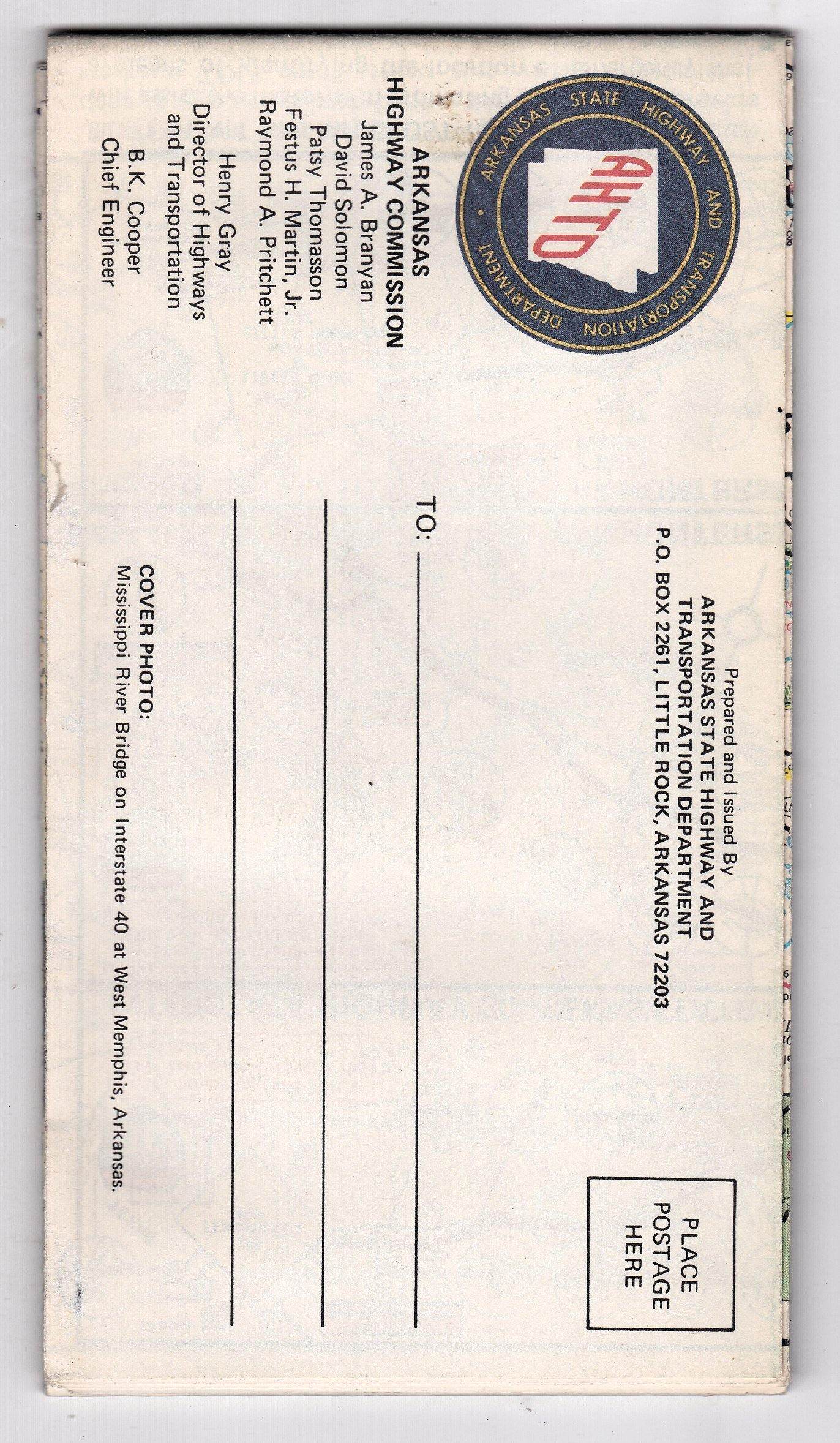
1982 Official Arkansas State Highway Map issued by the Arkansas State Highway and Transportation Department. The cover photo is the Mississippi River Bridge on Interstate 40 at West Memphis, Arkansas. Side 1 of the map includes a state highway map of Arkansas, a mileage chart, and an index of cities, towns, and communities. Side 2 has a topography map, and metro/city maps of Little Rock, Fort Smith, Hot Springs National Park, Pinebluff, Texarkana, and 11 other cities, as well as maps for Interstate highways 30.44. and 55.
Folds out to a size of approximately 32" x 21".
The map is in excellent condition.
Have a question?


Arkansas 1982 Official State Highway Map


