- Sku: PCLV2386S
- Barcode:
- Type: Vintage Maps
Cleveland And Cuyahoga County Ohio 1974-75 Street Map AAA
We ship to all 50 US states, Puerto Rico, APO addresses, US territories, Canada, Australia, and New Zealand
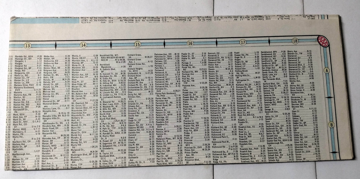
1974-1975 edition Cleveland and Cuyahoga County (Ohio) street map published by AAA (Automobile Association of America). The two sided map is 3.75"x8.75" folded and folds out to a large 37"x26".
The map shows streets and highways, important buildings, parks, cemetaries, colleges and universities, golf and country clubs, hospitals, yacht clubs, and principal points of interest for Cleveland and all towns in Cuyahoga County Ohio.
The street map is in excellent condition (see photos).
Have a question?


Cleveland And Cuyahoga County Ohio 1974-75 Street Map AAA


