


- Sku: PGEV2969S
- Barcode:
- Type: Vintage Maps
Genessee County Michigan 1972 Highway Map Parks Recreation
We ship to all 50 US states, Puerto Rico, APO addresses, US territories, Canada, Australia, and New Zealand
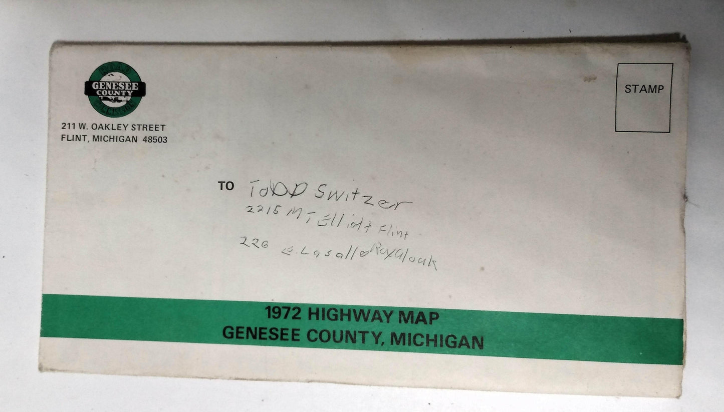
Genessee County Michigan 1972 Highway Map "issued by the Board of County Road Commissioners of Genesee County in cooperation with The Genesee County Parks and Recreation Commission. The map folds out to a size of 34"x22.5"
Side 1 of the map shows "county roads, state and federal highways, townships, incorporated areas, parks and recreation areas, lakes and streams, airports, house numbering and gold courses. Note the map detail shows mainly county areas, it doesn't show street details for cities like Flint, Flushing, or Grand Blanc which are greyed out on the map.
The back side of the map has information and photos of country parks and recreation areas like Flushing County Park, Buell Lake County Park, For-Mar Nature Preserve and Arboretum, Holloway Reservoir Regional Park, and Linden County Park.
The map is in overall very good condition with a small 2 inch split on one seam, a small (approximately) 1 inch round light stain in one spot, and a name written in the address section of the back cover (see photos)
Have a question?


Genessee County Michigan 1972 Highway Map Parks Recreation


