


- Sku: PMAV4260S
- Barcode:
- Type: Vintage Maps
Maine Vacationland Official State Highway Map 1964
We ship to all 50 US states, Puerto Rico, APO addresses, US territories, Canada, Australia, and New Zealand
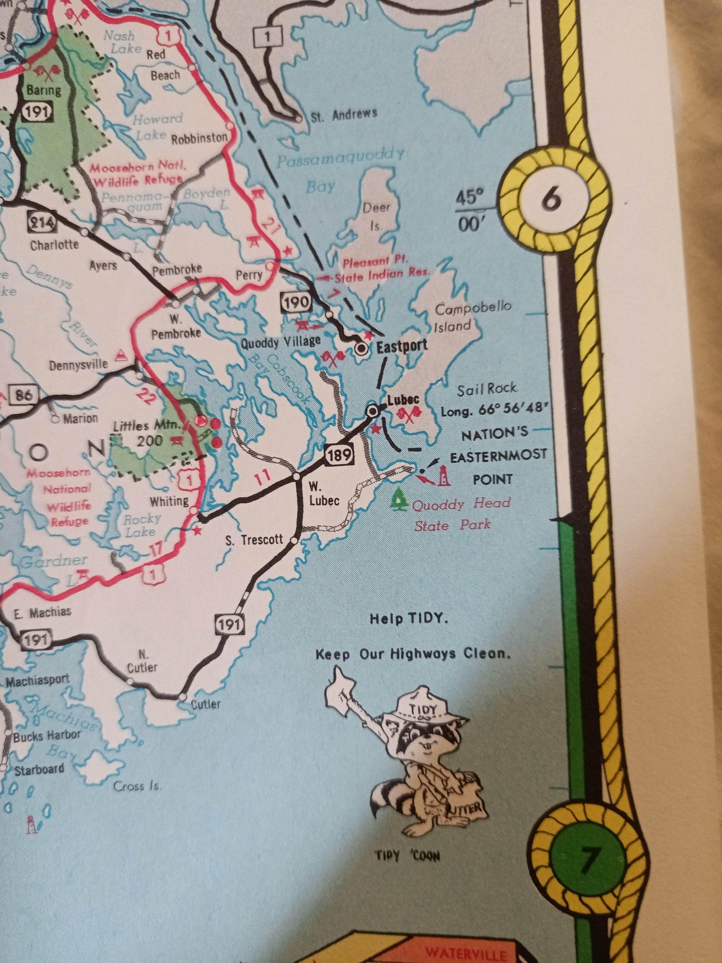
1964 Maine Vacationland State Highway Map issued by the Maine State Highway Commission.
Side 1 of the map includes a large state highway map of Maine, smaller inset maps of Augusta, Auburn-Lewiston, Portland, Waterville-Winslow, Rumford-Mexico, Bangor-Brewer, Sacco-Bideford, plus an index of cities and towns, and a mileage chart showing the distance between towns.
Side 2 has a large pictorial map of the state "Maine Where Every Season Is Vacation Time!" showing the location of 54 attractions with short descriptions of each. It also has an article about Maine and what makes it a great place to vacation, a list of radio stations, and a table showing info about parks and memorials.
The map folds out to a size of approximately 34" x 24".
The map is in excellent condition.
Have a question?


Maine Vacationland Official State Highway Map 1964


