- Sku: PNEV4369S
- Barcode:
- Type: Vintage Maps
Nevada Centennial Official State Highway Map 1963-1964
We ship to all 50 US states, Puerto Rico, APO addresses, US territories, Canada, Australia, and New Zealand
1963-1964 Nevada State Highways Map issued for the Nevada state centennial (1864-1964) by the State of Nevada Department Of Highways.
The map folds out to a size of approximately 32" x 18 (813mm x 457mm).
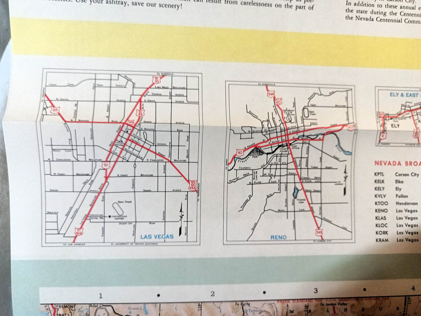
Side 1 of the map includes a large state highway map of Nevada, smaller inset maps of Las Vegas, Reno, and Ely and Eat Ely. It also has a message from the Governor Grant Sawyer, plus an index of cities and towns, a listing of Nevada AM and FM radio stations, a mileage chart showing the distance between towns, and a list of 52 points of interest with short descriptions of each.
Side 2 has a large map showing the location of Nevada's historical trails, ghost towns, and mining camps. It also has descriptions and many "then and now" photos showing cities in 1964 (color photos) and in the past (black and white photos) including the Las Vegas strip, Ely, Pioche, Winnemucca, Goldfield, and others.
The map is in excellent condition.
Have a question?


Nevada Centennial Official State Highway Map 1963-1964


