- Sku: PPAV2968S
- Barcode:
- Type: Vintage Maps
Pathmark New York City and Long Island Street Map 1985
We ship to all 50 US states, Puerto Rico, APO addresses, US territories, Canada, Australia, and New Zealand
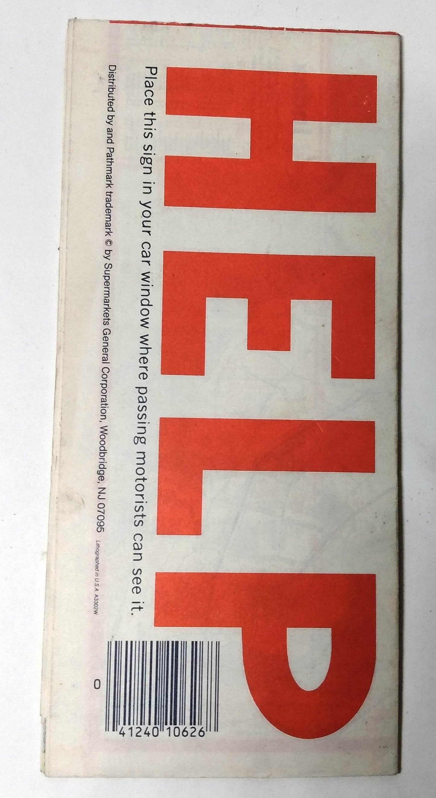
Pathmark supermarkets New York City map from 1985. Folds out to a size of approximately 34" x 24".
The front side of the map has a large map showing New York City and Vicinity including all 5 boroughs, the western section of Long Island (up to about Farmingdale/Cold Spring Harbor), and part of New Jersey (Newark, Hoboken, Bayonne, Jersey City areas), and an index of communities, points of interest, parks, golf courses, and airports.
The back side has a detailed map of lower Manhattan (and an index of buildings, theaters, hotels,parks, clubs, stores, radio and TV stations), a map of eastern Long Island including info on State Parks and auto ferries, and points of interest.
The map shows many places/buildings that no longer exist like the World Trade Center complex, stores (Alexanders, B. Altman, F.A.O. Schwarz, Gimbels), and places that have been renamed (Harley of New York hotel, Howard Johnson's Motor Lodge, Pan Am Building, Ritz theater), and many others. The Pathmark grocery chain itself was acquired by A&P in 2007 and closed its stores by 2015 when A&P filed for bankruptcy.
The map's front cover has a few marks (see photos) but the rest of the map is in excellent condition.
Have a question?


Pathmark New York City and Long Island Street Map 1985


