


- Sku: PSOV1905S
- Barcode:
- Type: Vintage Maps
South Dakota 1974 Official State Highway Map
We ship to all 50 US states, Puerto Rico, APO addresses, US territories, Canada, Australia, and New Zealand
1974 Official South Dakota Highway Map issued by the South Dakota Department of Transportation. The back cover photo is Mount Rushmore.
Side 1 of the map includes a 28" x 18" state highway map of South Dakota, and an index of cities, towns, and communities.
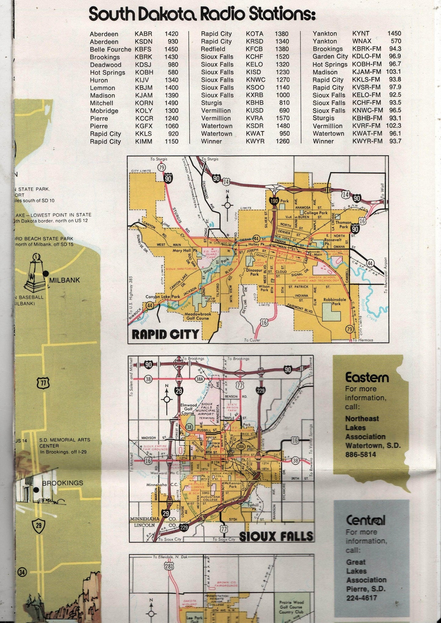
Side 2 has a large illustrated "Family Fun Guide to South Dakota" which shows the location of major points of interest, a list of South Dakota AM and FM radio stations, a message from the governor (Richard F. Kneip), and small maps of Rapid City, Sioux Falls, and Aberdeen..
Folds out to a size of approximately 32" x 18".
The map is in excellent condition.
Have a question?


South Dakota 1974 Official State Highway Map


