- Sku: PVIV0348S
- Barcode:
- Type: Vintage Maps
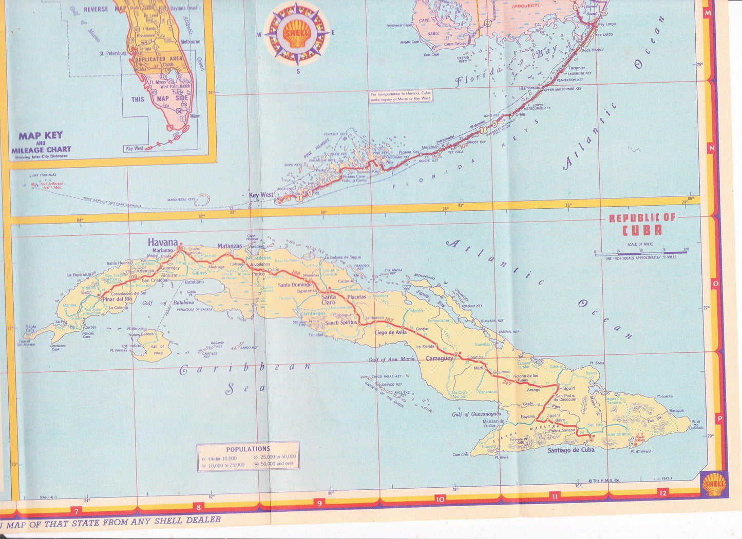
Vintage Shell Oil Map of Florida and Cuba 1947
We ship to all 50 US states, Puerto Rico, APO addresses, US territories, Canada, Australia, and New Zealand
Vintage 1940's Shell Oil map of Florida and Cuba. Printed in the USA in 1947. 2-sided map folds out to 26x18. Side 1 has a map of Florida (the upper 2/3) and a smaller inset map of the Tampa-St Petersburg area, as well as a list of cities and towns (with 1940 census population figures, the 1940 population of Florida was under 2 million people) and points of interest. Side 2 has maps of Florida (the lower 1/3) and the Miami area, and Cuba.
Map is in very good condition for its age but does have one 2" long tear on the edge of one crease (which has been taped with clear tape).
Have a question?


Vintage Shell Oil Map of Florida and Cuba 1947


